Geospatial Solutions

Harness the power of location intelligence with our comprehensive suite of Geospatial Services. We specialize in transforming raw spatial data into actionable insights and powerful tools tailored to your specific needs. Our expertise spans the entire GIS lifecycle, ensuring you have the support required to navigate the complexities of the spatial world and unlock its strategic potential. From foundational data management to cutting-edge application development, we provide the building blocks for a spatially empowered organization.
Our technical capabilities encompass a wide array of services designed to meet diverse geospatial requirements. We leverage industry-leading software and methodologies to deliver high-quality results that drive efficiency and innovation. Whether you need to visualize your data, analyze spatial relationships, or build custom solutions, our team possesses the skills and experience to bring your geospatial vision to life.
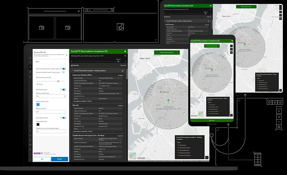
- Application Development: Creating custom desktop, web, and mobile GIS applications tailored to specific workflows and user needs.
- Mapping and Visualization: Producing high-quality cartographic products, interactive web maps, and insightful spatial visualizations.
- Spatial Analysis: Conducting in-depth analysis including proximity analysis, overlay analysis, network analysis, and spatial statistics to identify patterns and trends.
- Data Acquisition and Integration: Sourcing, cleaning, transforming, and integrating diverse spatial datasets from various sources.
- Geodatabase Design and Management: Developing and maintaining efficient and robust spatial databases for optimal data storage and retrieval.

Beyond the technical implementation, we offer strategic guidance and support to ensure your geospatial initiatives align with your broader organizational objectives. We work collaboratively to understand your challenges and opportunities, providing tailored solutions that deliver tangible value and a strong return on investment. Our commitment is to empower you to leverage the full potential of GIS to achieve your strategic goals.
- Strategic Planning: Developing geospatial strategies and roadmaps aligned with business objectives.
- Workflow Optimization: Analyzing and improving existing geospatial workflows for increased efficiency.
- System Integration: Integrating GIS with other enterprise systems for seamless data flow and enhanced decision-making.
- Technical Support: Providing ongoing support and troubleshooting for all your GIS needs.
- Data Governance and Quality Assurance: Establishing best practices for data management and ensuring the accuracy and reliability of your spatial information.
Finally, we recognize the growing importance of emerging geospatial technologies and offer services to help you stay ahead of the curve. We are adept at working with cutting-edge tools and techniques to provide innovative solutions for complex challenges. Partner with us to explore the future of geospatial analysis and unlock new possibilities for your organization.
- Remote Sensing and Imagery Analysis: Extracting valuable information from satellite and aerial imagery.
- LiDAR Data Processing: Processing and analyzing LiDAR data for 3D modeling and terrain analysis.
- Real-time GIS and Location Services: Implementing solutions for real-time tracking and location-based services.
- Integration with AI and Machine Learning: Applying advanced analytical techniques to spatial data for predictive modeling and pattern recognition.
- Cloud-Based GIS Solutions: Architecting and deploying scalable GIS solutions in cloud environments.